Village of Maryville Municipal Geographic Information Systems (GIS)
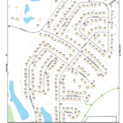
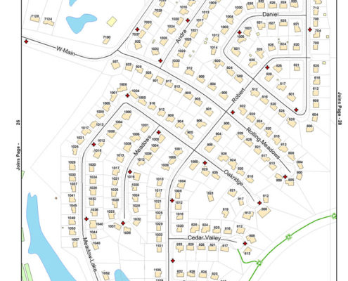
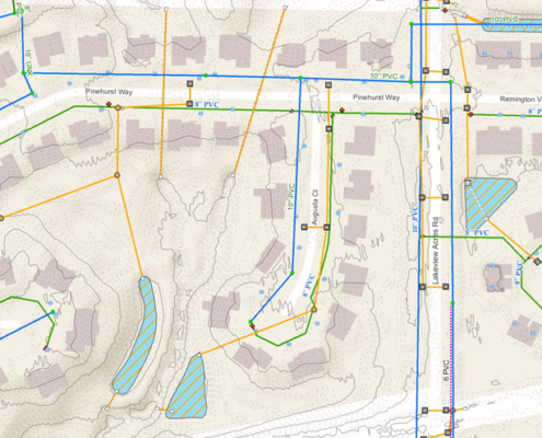
Initiated by the need to replace outdated utility mapping, Juneau Associates, Inc., P.C. began an ongoing GIS project with the Village of Maryville in 2002. Beginning with the water distribution and sanitary sewer systems Juneau Associates was able to provide the village with up-to-date hard copy maps and desktop computer access to its utility systems mapping and data. Since then many other aspects of the village have been digitized and mapped to the village GIS database.
- Village of Maryville GIS Mapping Highlights:
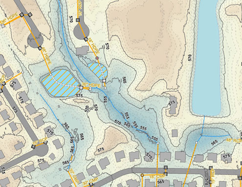
- Water, Sewer and Storm Sewer Systems
- Scanned Document Subdivision Plats & As-Built Plans
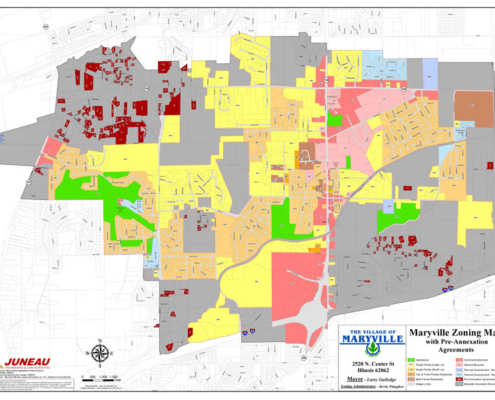
- Zoning Data, Annexations and Pre-Annexation Agreements
- Roadway information such as surface type, widths and curb types
- Street Signage and Lighting
- Buildings, Addresses and Parcel Data
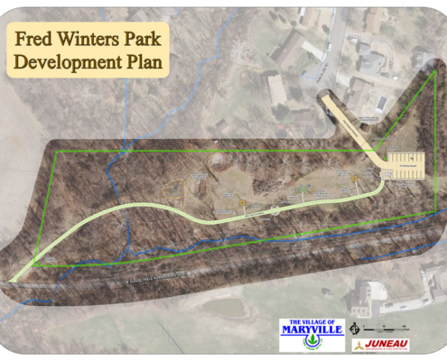
- Parks, Village Facilities, Places of Interest
- Topography derived from LiDAR
- Historical Collection of Aerial Photography
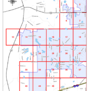
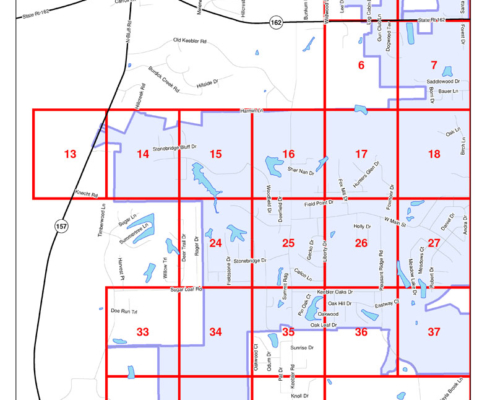
Juneau Associates has mapped over 140 miles of underground utility line information and nearly 5,000 manholes, water valves, fire hydrants, storm inlets and other utility points in the Village of Maryville. Juneau has served as GIS Management and Technician for the village GIS since its inception. The village has seen many additional benefits to maintaining a GIS including improved access to up-to-date mapping, Capital Improvement Project planning, expedited grant application completion, Village street guides for first responders and Village-wide Comprehensive Planning.

